Total Station
Total Station
Description –
The Leica TS01 total station empowers you to carry out measurement tasks with ease and simplicity. The TS01 is an entry-level manual total station, created to help you master surveying, layout and mapping projects. It will prove itself in the field and immediately become a valuable member of your team.
Buying a Leica TS01 is a smart decision as it represents a business-smart entry into Leica Geosystems world. You and your surveying crew members will be ready for new projects in no time.
Enjoy the benefits of a 500 m non-prism range and 3,000 m prism range, always combined with accuracy and measurement speed, which increases your productivity. With built-in sensors like an electronic dual axis compensator, a laser plummet, onboard field software and short keys for quick menu access you'll have a fast instrument setup and fast measurements.
With the Leica TS01 total station you get your all-in-on package as it comes with Leica Geosystems accessories, such as a long-operating battery, a charger and a tribrach tested to reliably fulfil the requirements – when every detail counts.
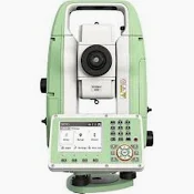
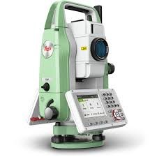
TS-03
Description –
Leica FlexLine TS03 is a classic manual total station for standard measuring tasks, enabling you to carry out most survey and layout tasks easily and efficiently.
Leica FlexLine: The new generation of manual total stations
The new Leica FlexLine series is based on a proven product concept, revolutionising the world of measurement and survey for nearly 200 years. Unlike any other manual total stations in the market, Leica Geosystems manual total stations focus on providing the highest quality, the lowest total cost of ownership and the longest durability in the industry, enabling users to work with purpose-driven solutions for the best performance results.
Leica FlexField software: Comprehensive, intuitive and easy to use
The TS03 is equipped with the Leica FlexField software, an intuitive, easy-to-use and familiar software. Guided workflows and easy to understand graphics and icons ensure a low learning curve when working in the field. The software makes the interpretation of measurement values or text no longer necessary and guarantees a faster and simple operation when you need it. With its pinpoint distance measurement system, you will be able to measure to both prisms and any surfaces.
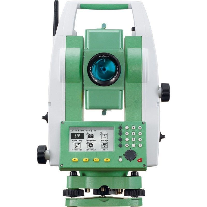
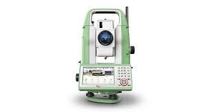
TS-07
Description –
Leica FlexLine TS07 is a manual total station, enabling you to carry out mid- to high-accuracy survey and stakeout tasks easily and efficiently.
Leica FlexLine: The new generation of manual total stations
The new Leica FlexLine series is based on a proven product concept, revolutionising the world of measurement and survey for nearly 200 years. Unlike any other manual total stations in the market, Leica Geosystems manual total stations focus on providing the highest quality, the lowest total cost of ownership and the longest durability in the industry, enabling users to work with purpose-driven solutions for the best performance results.
AutoHeight: Revolutionising instrument height measurement
The TS07 offers the world’s first AutoHeight feature as an option. AutoHeight enables the instrument to automatically measure, read and set its instrument height. Prevent time consuming manual effort and eliminate critical errors during the instrument setup when this revolutionary feature uses a laser from the instrument to measure to the ground and automatically passes the measurement to the software.
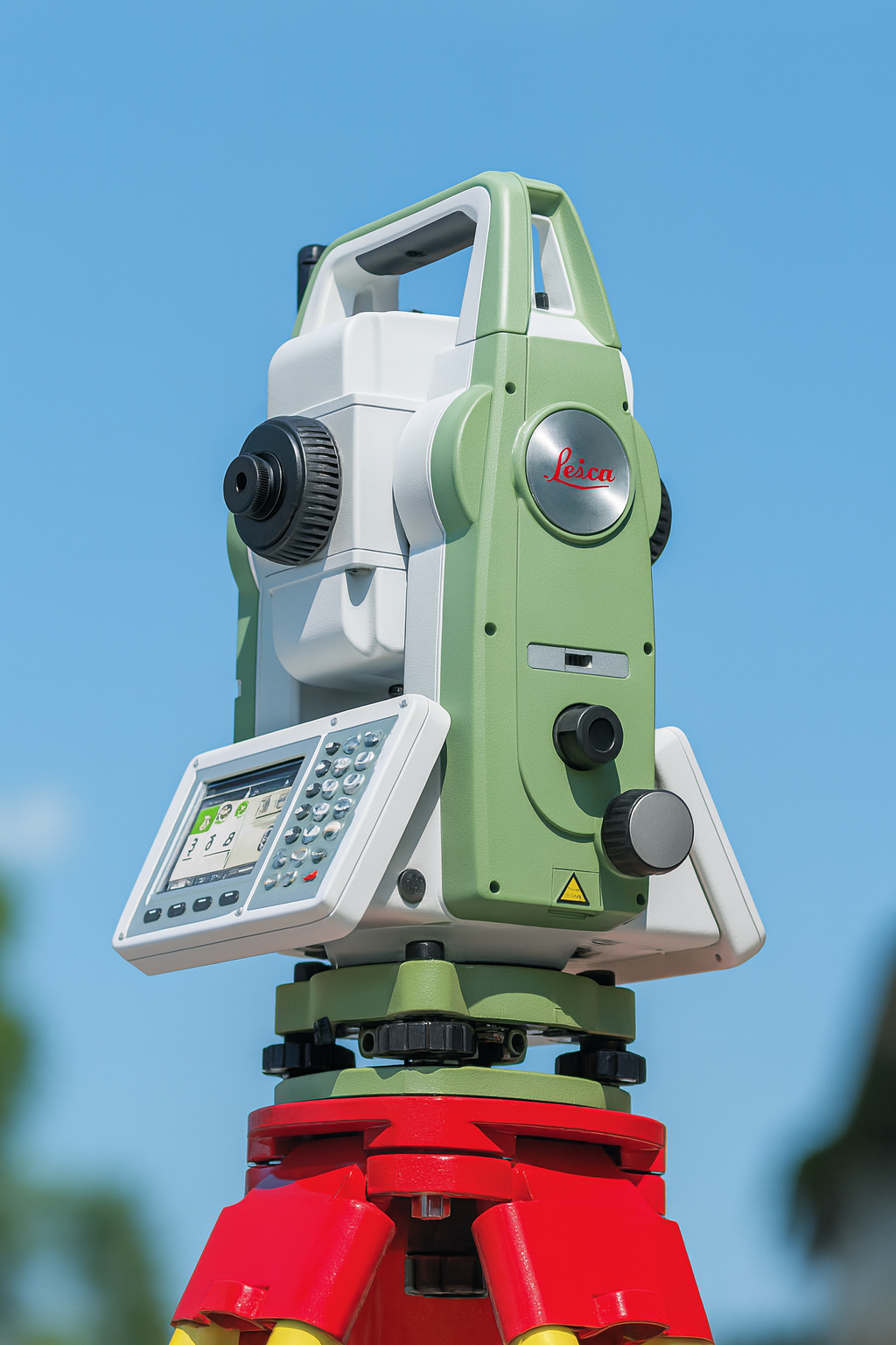
TS-10
Description –
Leica FlexLine TS10 is a high-end manual total station, enabling you to carry out high-demand survey tasks with Leica Captivate software. This way you can participate in the world of 3D by benefiting from 3D views of your measured data.
The TS10 solves daily professional challenges and tasks for growing demands within surveying and mapping, building construction and civil engineering:
Leica FlexLine: The new generation of manual total stations
The new Leica FlexLine series is based on a proven product concept, revolutionising the world of measurement and survey for nearly 200 years. Unlike any other manual total stations in the market, Leica Geosystems manual total stations focus on providing the highest quality, the lowest total cost of ownership and the longest durability in the industry, enabling users to work with purpose-driven solutions for the best performance results.
AutoHeight: Revolutionising instrument height measurement
The TS10 offers the world’s first AutoHeight feature as an option. AutoHeight enables the instrument to automatically measure, read and set its instrument height. Prevent time consuming manual effort and eliminate critical errors during the instrument setup when this revolutionary feature uses a laser from the instrument to measure to the ground and automatically passes the measurement to the software.
Leica Captivate software: Comprehensive, intuitive and easy to use
The TS10 is equipped with the Leica Captivate field software, a comprehensive application-based software package. This intuitive, familiar software helps you to capture even more points than before. You are also able to tie into the modern 3D dataflow and rigorous quality assurance and control routines.
Leica Icon Total Station
The Leica iCON iCR80 construction total station keeps its ‘eye’ on only one thing: the user’s target. Layout more points per day thanks to ATRplus, the most robust automated-aiming, lock and re-lock technology in the market. The iCR80 is especially useful in congested sites with many distractions, such as reflections, machines and people moving around. Challenging and changing site conditions should not be an obstacle.
The iCON iCR80 allows users to:
The iCON iCR80 guarantees layout efficiency with the most reliable, simple and automatic set up procedure, industry-leading prism lock, and flexible handling of fully rendered 3D design models in the field. This sophisticated, one-person total station offers an ‘all-in-one’ solution for every purpose – especially the difficult ones, allowing you to speed up your workflow.
As a variant of the iCR80, Leica Geosystems introduced the Leica iCON iCR80S with simplified user interface. Without display and no iCON field software onboard, the iCR80S can be operated via a 4-button keyboard.
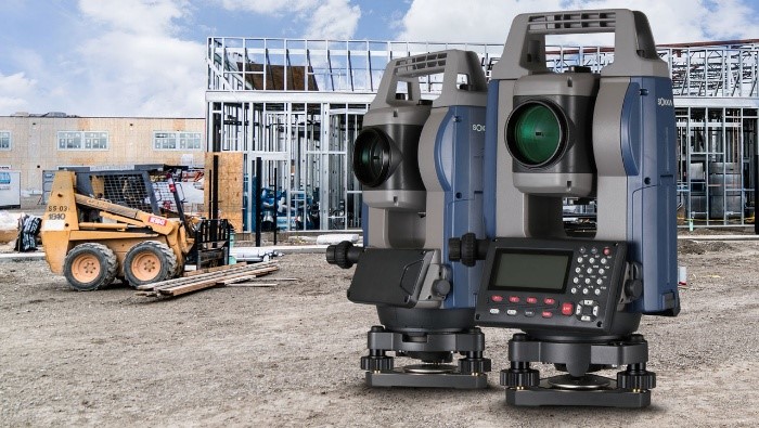
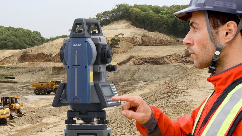
Sokkia -iM-50 Series