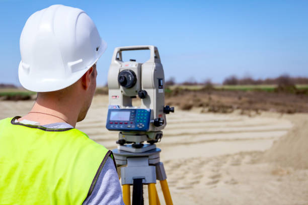
Total Station Usage
Total stations are versatile surveying instruments that integrate electronic distance measurement (EDM), electronic theodolite, and data processing capabilities in one device
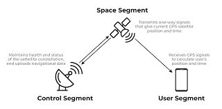
Guide to GNSS (Global Navigation Satellite System) Usage
Global Navigation Satellite Systems (GNSS) are satellite-based technologies that provide positioning, navigation, and timing (PNT) services to users anywhere on the Earth's surface.

Disto Measurement
Laser distance meters (also called laser distometers or laser rangefinders) are versatile tools that measure distances quickly, accurately, and without contact.
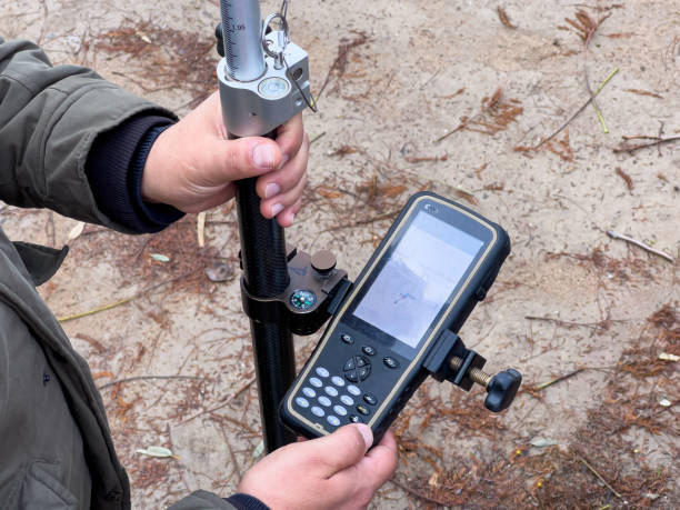
GIS data collection GNSS receiver
Selecting the right GNSS (Global Navigation Satellite System) receiver for GIS (Geographic Information System) data collection is essential for ensuring accurate and reliable spatial data.